Specialists in extreme weather engineering. Focusing on natural disaster analysis, prediction, and protection
Working With
Natural Disasters
We perform flood, coastal and climate risk assessments throughout Australia, Asia, Indonesia and the Pacific, where we work alongside our colleagues from the international JBA Group.
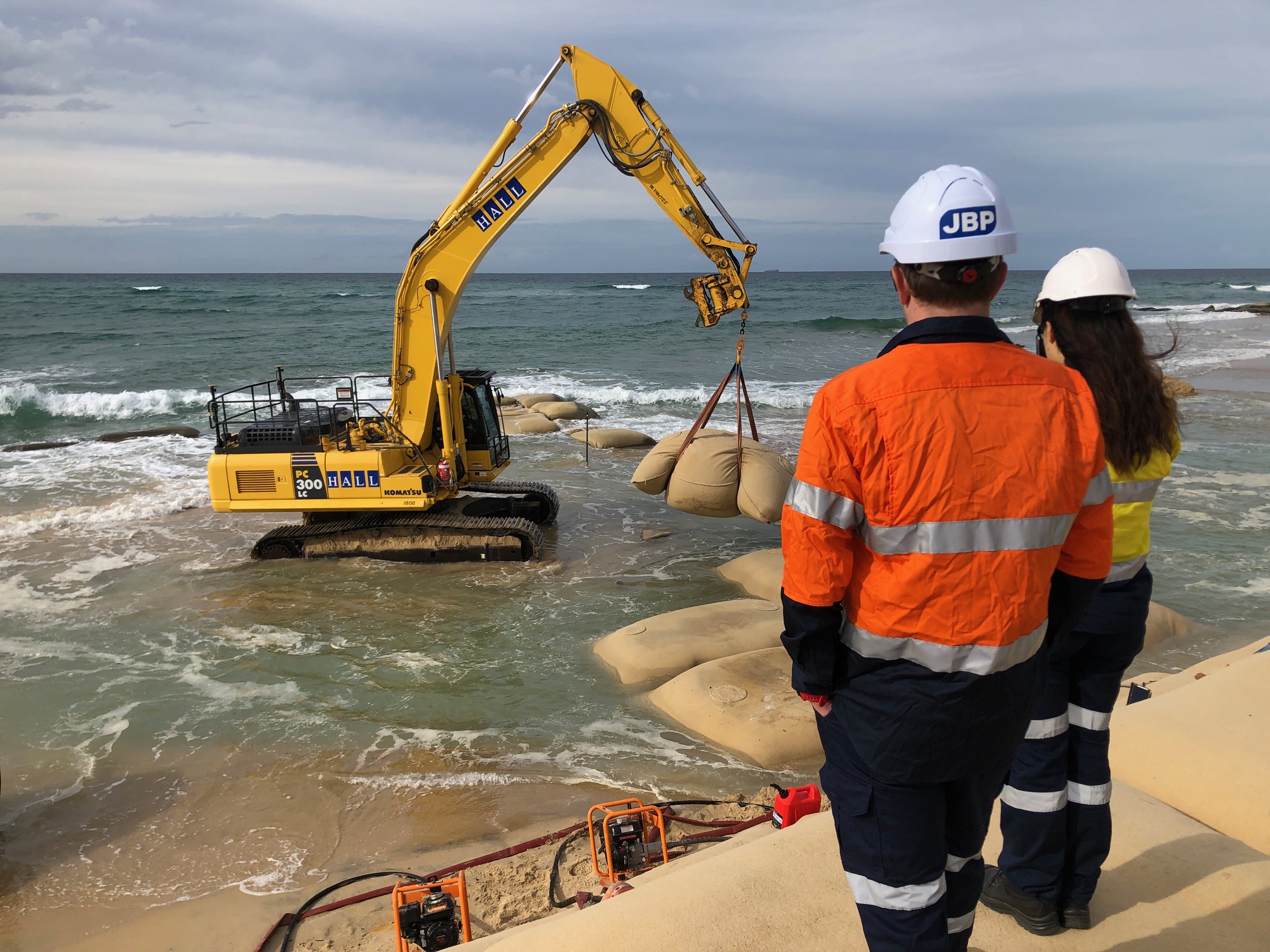
Our flood risk mapping now spans every town between Pakistan and the Pacific. We have simulated the impacts of over 10,000 tropical cyclones and typhoons, run over 100,000 wave models, and run erosion models over 300km of sandy shorelines. We have designed over 100km of coastal protection works, including nourishment, geobags and rock structures, in addition to designing new barge landing ramps and associated infrastructure for marine access. Importantly, our modelling is also being used to support disaster management and food security planning across multiple pacific islands, and salinity modelling supporting weir removal and habitat creation projects in Australia and the Pacific.
Experts in
the events that
affect us
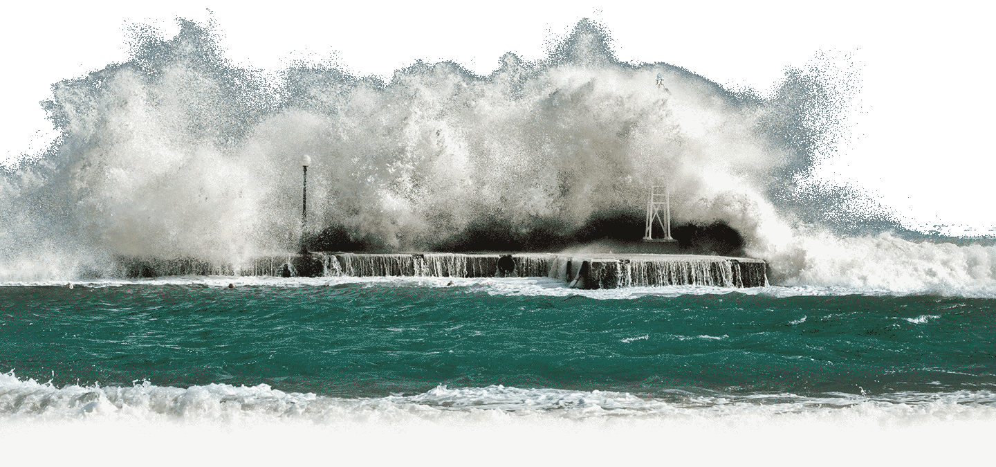
In recent years, extreme weather has had unprecedented impacts on communities, causing loss of life, damage to infrastructure, and impacts to our environment and cultural heritage. This is where we work; providing analysis, engineering and technology to increase protection against natural disasters.
We work with governments, councils, international funding agencies and consultants by providing specialist extreme weather support. This includes early warning systems and national-scale data analysis.
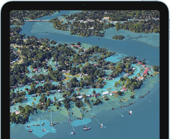
We are custodians of the Global Flood Map, an industry-led, continuously updated flood map which can be licenced by any country, agency or organisation. This flood map shows there are an estimated 2 billion people at risk of flooding worldwide.
Natural disasters
require specialised
designs
Here are some of the wide range of projects we have worked on within Australia and the Indo-Pacific region. This includes our work completing national-scale flood hazard mapping, cyclone and typhoon modelling, coastal and flood protection works, and developing operational forecasting and early warning systems.
Our services
Our extreme weather teams provide large-scale to community-scale mitigation options and technology solutions for natural disasters
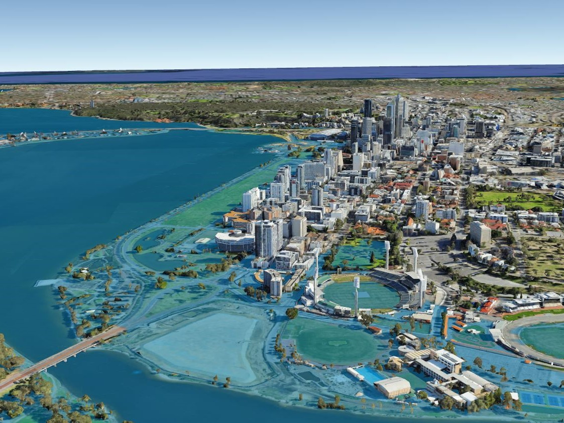
Coastal hazards
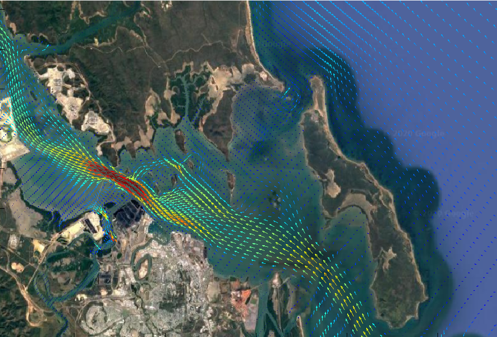
We use advanced modelling and climate data to understand coastal impacts now and in the future.
- Extreme data analysis
- Probabilistic erosion modelling
- Wave and overtopping studies
- Hydrodynamic and cyclone impacts
- Sediment transport and morphology
Flood hazards
We work on integrated catchment management plans, modelling and designs to prevent the risks of flooding.
- Custodians of the Australian Flood Map
- Detailed flood modelling and impact analysis
- Integrated catchment management
- Water balance and yield assessments
- Water quality studies
Engineering
design
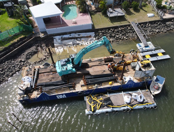
Our civil design team includes specialist coastal, waterway and flood engineers that undertake engineering designs, modelling and appraisals.
- Coastal engineering; seawalls, revetment, breakwaters
- Marine engineering; jetties, pontoons, boat ramps
- Waterway engineering; bank protection, piling, fishways
- Flood engineering; levees, detention basins, floodways
Early warning
systems
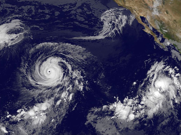
Our Multi-Hazard Early Warning Systems are used by communities and governments to offer a total advanced warning solution.
- Early warning systems for floods and cyclones
- Real time modelling using live data
- Predictive flood extents and impact maps
- Multi-user platforms with centralised dashboards
- Integration with existing Incident Management Systems
Global resilience
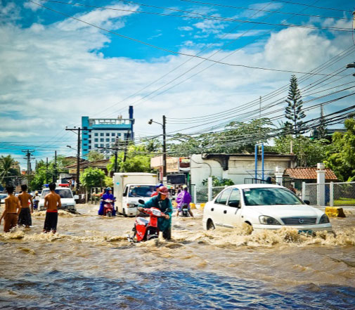
We work collaboratively on disaster risk reduction projects, focusing on natural disasters and climate change.
- National-scale assessments and prioritisation
- Hazard mapping for floods, erosion and tsunami
- Risk and economic assessments/planning
- Water security and food security assessments
- Multi-hazard early warning systems
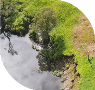
Our values will never erode
Expertise
We are dedicated to leading the way in extreme weather engineering across Australia and the Pacific
Science
Scientific research backs everything we do, from environmental patterns and impact, civil design and sustainability.
Environment
We seek to protect the environment by operating in accordance with our ISO 14001 certified environmental management system
Technology
We are at the forefront of technological advancements in relation to engineering, demonstration tools, prediction and forecasting.
Data
Our data management procedures have been designed to follow international regulations on information security and data privacy.
