Flood Hazards
We are passionate about delivering better ways of managing the risk associated with flooding now and in the future
Flood hazards
We deliver national-scale to catchment-specific flood studies, hydrological studies, hydrologist reports, hydraulic studies, flood risk management plans, forecasting and early warning systems, bridge assessments, scour assessments, development assessments, stormwater management plans, water quality management, and catchment management plans.

Research & innovation
Innovation is at the heart of all we do. We invest strongly in research and development, responding to the needs of clients to provide bespoke innovative solutions and incorporating the latest technical knowledge through collaboration with industry, academia and government
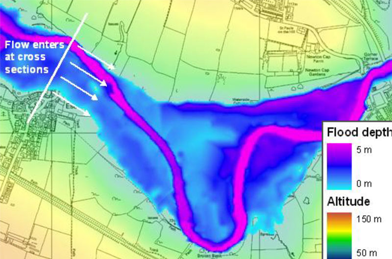
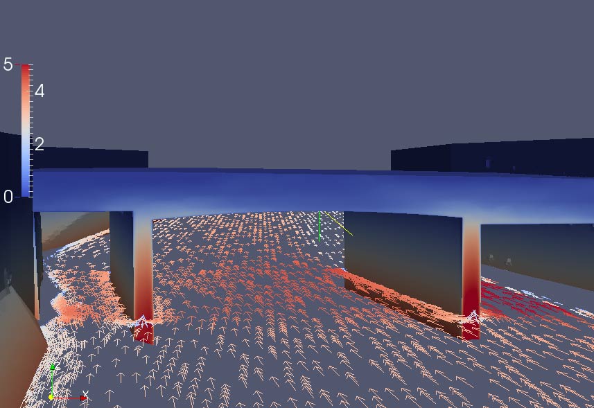
JFlow is our own super-fast two-dimensional hydrodynamic model. It is also our most succesful international product. Run on the world's largest dedicated flood modelling computer grid, we use JFlow for national-scale flood and hazard mapping. In 2006, the JBA Group made a breakthrough by pioneering the use of GPU (graphics processing unit) technology to improve the speed and efficiency of the JFlow model. By 2007, JFlow could be run up to a thousand times faster than before, leading to a step change in the scale of lood modelling.
Examples of
our work
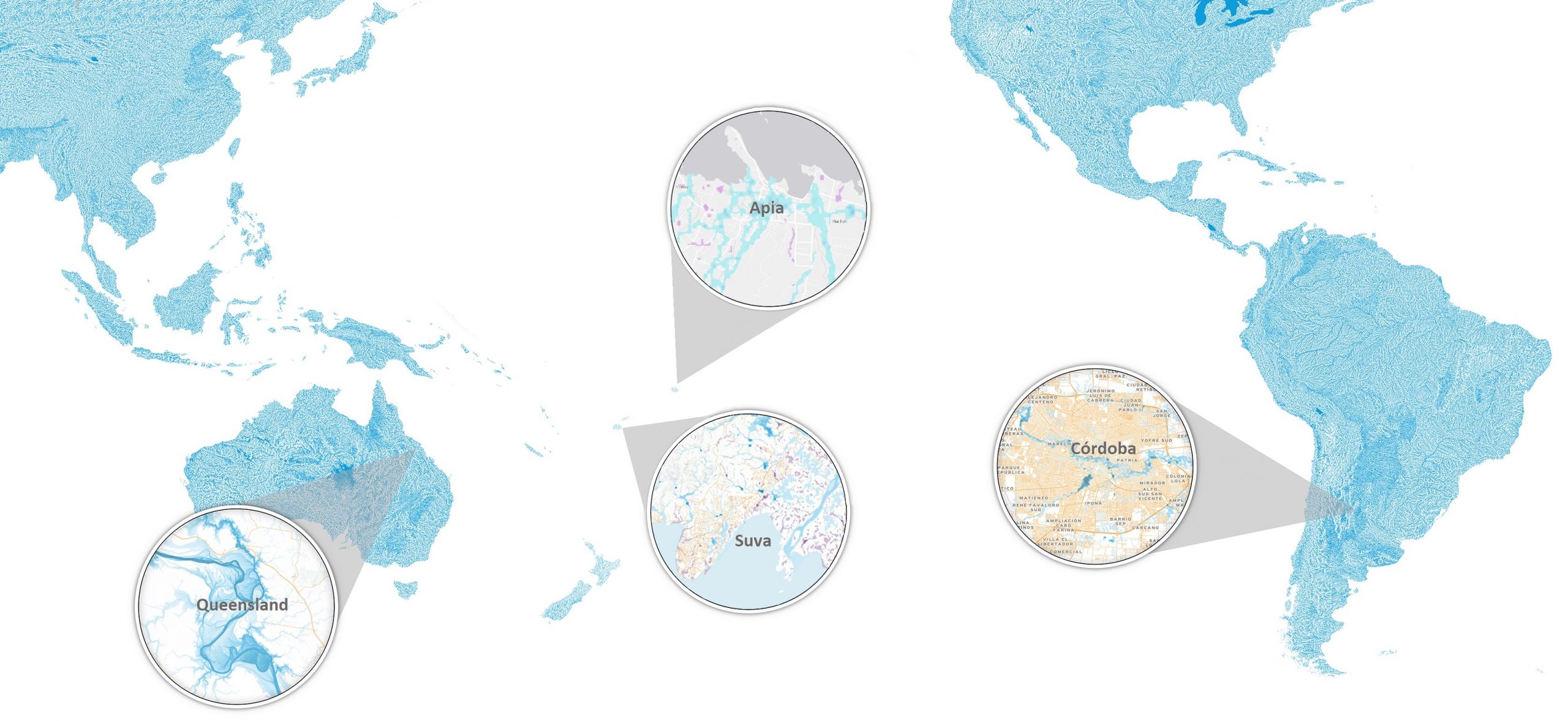
Here are just some examples of our work in flood hazard assessments
Our projects:
flood hazards
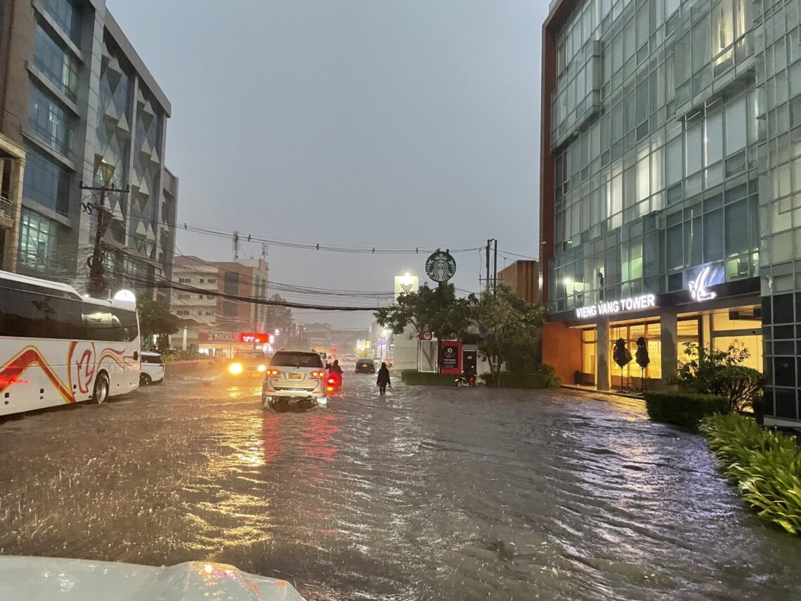
Flood risk management for Vientiane and Pakxan City in Lao PDR
The challenge Vientiane capital city and Pakxan city are two … Continued
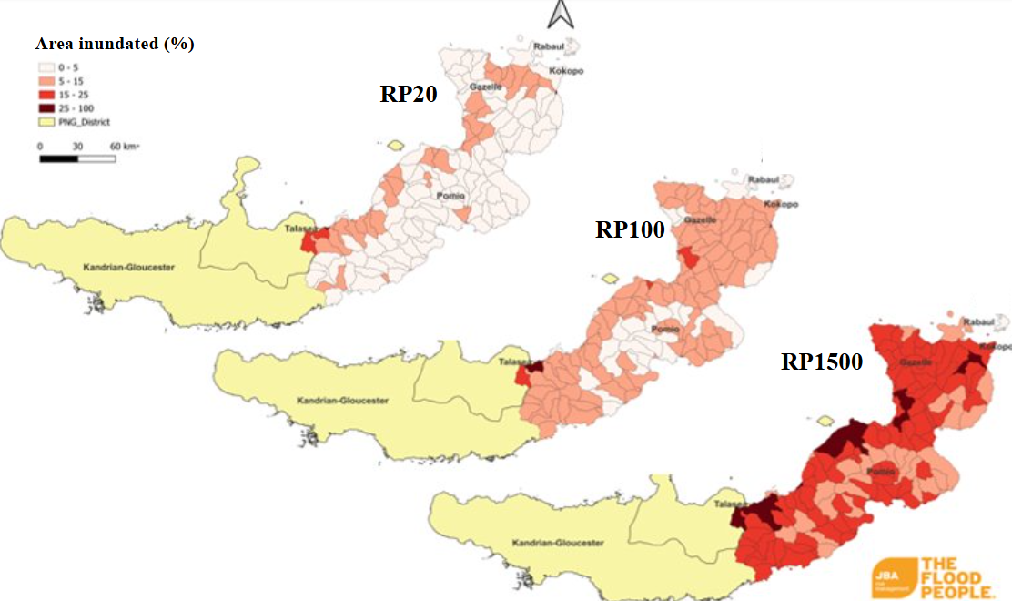
Enhancing Energy Resilience to Climatic and Natural Hazard Risks in New Britain Island of Papua New Guinea
The challenge Papua New Guinea (PNG) faces significant challenges in … Continued
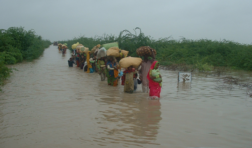
Sindh Coastal Resilience Sector Project, Pakistan
The challenge The Sindh Delta in southern Pakistan faces severe … Continued
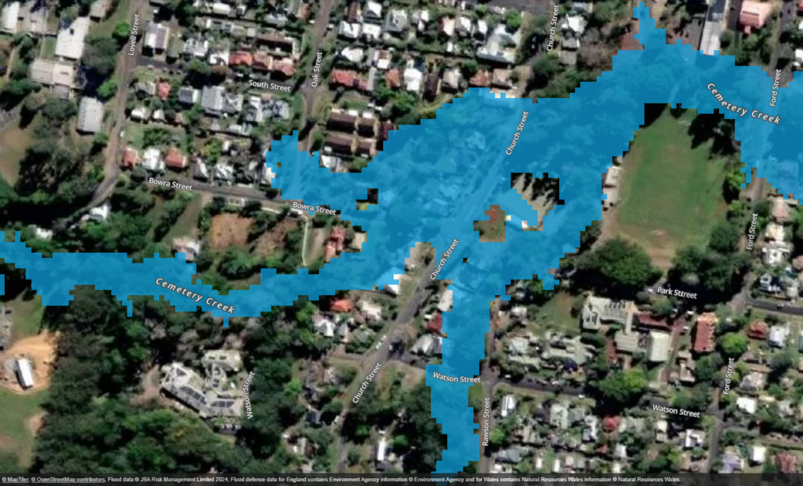
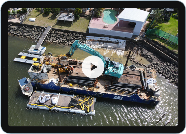
Bellingen Large-Scale Flood Mapping
Bellingen Shire Council has taken a proactive step in flood … Continued