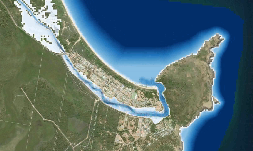
New Coastal Vulnerability Area (CVA) mapping under the NSW coastal reforms. Detailed hydrodynamic modelling and analysis of five hazards; (1) Beach erosion, (2) Shoreline recession, (3) Coastal lake or watercourse entrance instability, (4) Coastal inundation, (5) Tidal inundation. Hazard mapping was undertaken to identify future assets, infrastructure and land affected by coastal processes.