The challenge
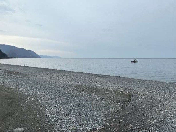
Georgia is a country located in the Caucasus, at the intersection of Eastern Europe and Western Asia. It is bounded by the Black Sea to the west, by Russia to the north and east, by Turkey to the southwest, by Armenia to the south, and by Azerbaijan to the southeast. Road construction and maintenance in Georgia is the responsibility of the Ministry of Regional Development and Infrastructure. The Asian Development Bank (ADB) is aiming to strengthen resilient infrastructure design in Georgia by assisting the Ministry in developing coastal models for planning and infrastructure design, Flood and morphological risk, under present drivers and in consideration of climate change, are seen as important factors in the design of resilient road infrastructure
Our work
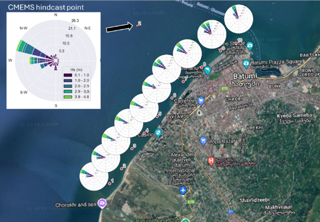
JBP led the development of a coastal modelling suite to simulate littoral transport and shoreline evolution. The team refined and configured these models using metocean data, shoreline evolution information, detailed bathymetry, and sediment characteristics. Given the limited availability of field data, robust sensitivity testing was conducted to ensure model reliability. JBP also evaluated and compared different coastal intervention typologies—such as groynes, breakwaters, and beach renourishment—across three pilot locations. Practical applications of the models were demonstrated to national stakeholders to support planning and decision-making. Additionally, JBP supported the delivery of knowledge-sharing activities, including webinars, workshops, and field training sessions. The team led the development and delivery of a comprehensive technical manual and a final report that summarized both the training activities and the modelling outputs. Finally, JBP was responsible for procuring specialized software essential for modelling littoral processes.