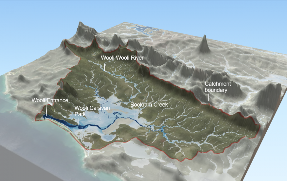
New hydrology and flood risk study for the Wooli River estuary in NSW. Tasks included the collection and review of hydrologic data including rainfall and gauge records, new ground and bathymetric data collection, development of an URBS hydrological model and TUFLOW hydraulic model for the catchment, development of a Delft3D model to understand the interaction between coastal and fluvial processes. The project outputs included new flood mapping to support land use planning and disaster management.
