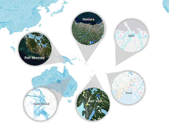
Our Pacific Island Flood Maps have been developed since 2014 and provides undefended flood hazard maps for six return periods (20, 50, 100, 200, 500 and 1,500-year).
They have been developed based on assessment of long-term rainfall records, river records, and statistical analysis to create new Intensity-Frequency-Duration datasets.
Numerical Modelling has been undertaken using JFlow – dedicated flood modelling software run on the worlds largest dedicated flood mapping computer cluster.
Elevation has been based on Intermap’s NEXTMap WORLD30 DSM and a variety of bareearth DTM datasets were used.
Use in the pacific
The use of these broad-scale flood maps is used to support hazard assessments, evacuation planning, and Multi-Hazard Early Warning Systems