Between February and March 2022, the Northern NSW region experienced extreme flooding. On the 27 and 28 February, a high-pressure system in the Tasman Sea merged with a slow-moving trough and upper atmospheric conditions to produce extreme multi-day rainfall. The catchments of the northern rivers already had wet soils, full rivers and water storages from prolonged La Niña conditions, which resulted in high runoff rates flowing into the Tweed River, Brunswick River, Wilsons River, Richmond River and Clarence River. The resulting inundation was extreme, and exceeded records in several areas such as Lismore, where river levels exceeded the March 1974 highest peak on record.

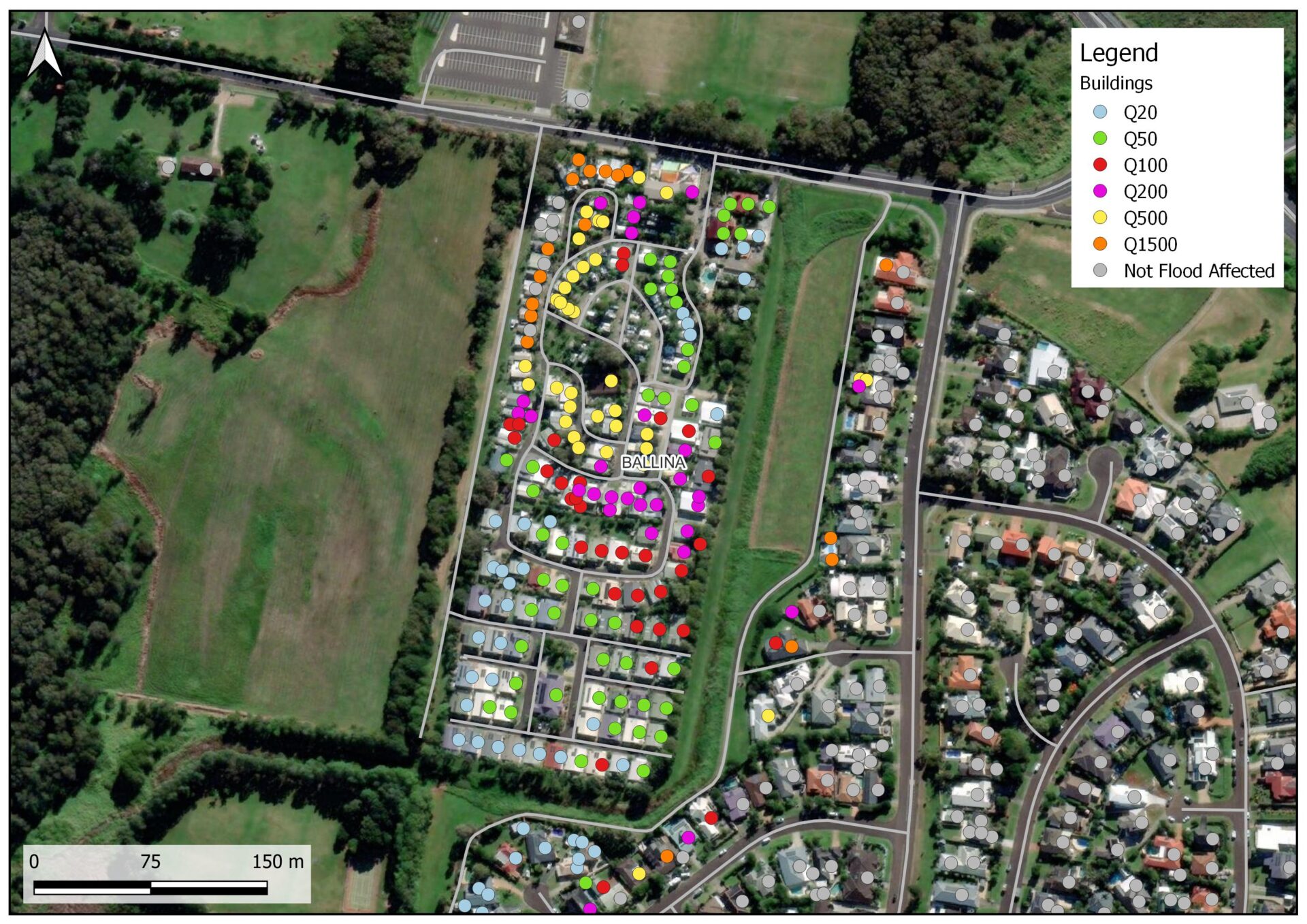
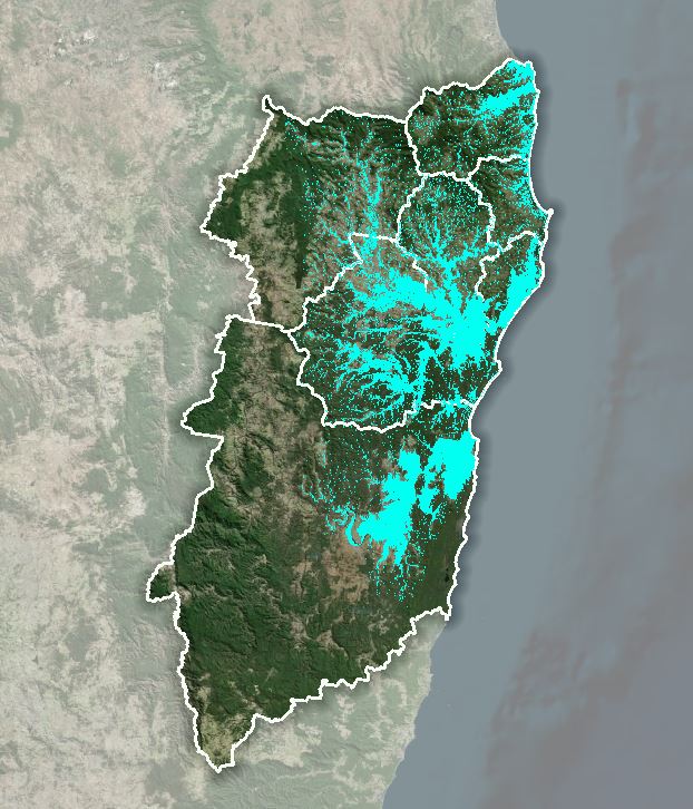
Our team analysed the flooding for the NSW state government (then-Northern Rivers Reconstruction Corporation) over seven local government areas; Tweed Shire, Byron Shire, Ballina Shire, Lismore Shire, Kyogle, Richmond Valley and Clarence Valley Council. We developed a flood event footprint for the 2022 flood event using gauged data, site specific flood studies, and post-event survey data. We found the flood event spanned 250,000 ha, with over 44,000 buildings and 84,000 people estimated to be inundated by the event.

