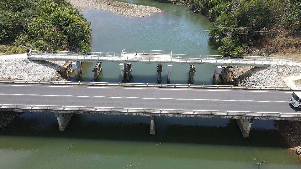
A large-scale hydrologic assessment, flood study and infrastructure assessment within the Far North Queensland. Hydraulic investigations included testing of infrastructure blockages to the river channel, with bridge pile removal investigated to improve conveyance and decrease flood levels. A Flood Risk assessment was undertaken which included flood impacts to the road network, assessed to determine the trafficability and immunity levels using classifications from the Australian Emergency Management Institute. New mitigation actions were designed and tested, which recommended an enhanced Flood Forecasting System, Road Egress and Evacuation Planning, and Targeted Asset Management Upgrades.
