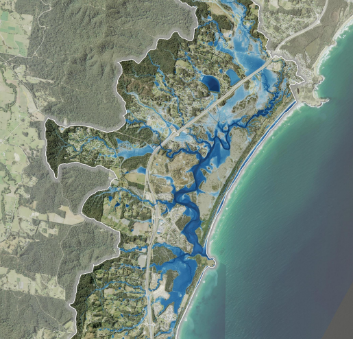
The Moonee catchment is located 13km north of Coffs Harbour on the Mid North Coast, NSW. The previous flood study for the area was conducted 25 years prior and there had been several major changes to infrastructure, land zoning and management since it was published.
JB Pacific developed a new hydrologic and hydrodynamic flood model for the Creek system to improve the understanding of flood behaviour and impacts, and better inform the management of flood risk in the community. It uses a calibrated hydrologic (URBS) and hydraulic (TUFLOW) model, with new flood mapping for events ranging between 1-in-5 to 1-in-500 year return period, plus the Probable Maximum Flood (PMF). Model outputs included maps of flood velocity, depth, level, extent and information to support emergency management and land-use planning.

