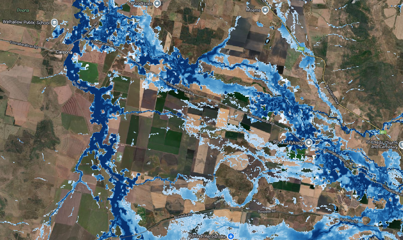
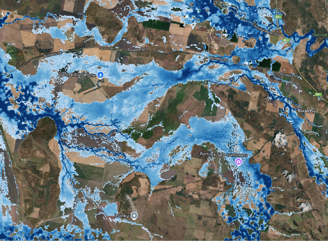
The Liverpool Plains Shire is located in the North West Slopes region of New South Wales. Several of its towns are located adjacent to watercourses, with infrastructure located within the floodplain. This includes Quirindi (Quirindi Creek), Willow tree (Borambil Creek) and Wallabadah (Quirindi Creek and Water Gully).
JB Pacific provided LGA-wide flood mapping to the Council, as a part of our Australian Flood Map. This includes six flood depth maps for the 1-in-20 to 1-in-1500-year return periods, from pluvial (rainfall) and fluvial (riverine) sources.

