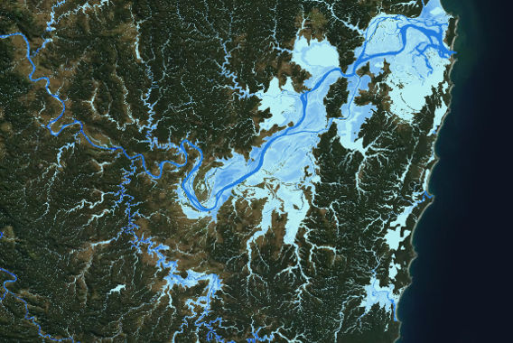
Large scale flood mapping throughout the Clarence Valley Council region, NSW, spanning an area over 10,000 km2. This included catchment delineation, hydrologic assessment and flood modelling at a 5m resolution, between 1 in 20 to 1,500-year return periods. Hazard maps are now in use by Council, disaster managers and planning officers.