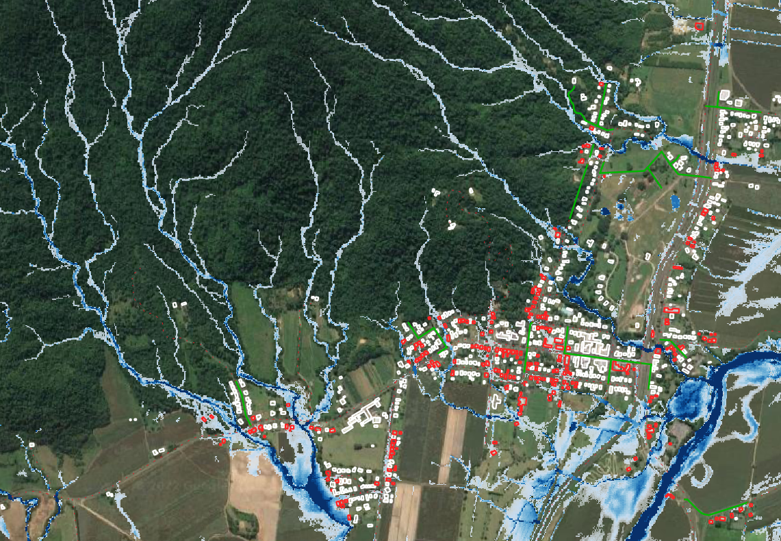
A very-large scale flood risk assessment for the Cairns region. Flood hazard maps were created for six return periods (Q20 to Q1500), at a 5m resolution, which included hydrographs and direct rainfall methods. Spatial analysis was undertaken throughout the Cairns LGA to identify flooded roads, railways, buildings, health services, emergency services, schools, wastewater treatment plans, and power substations.
