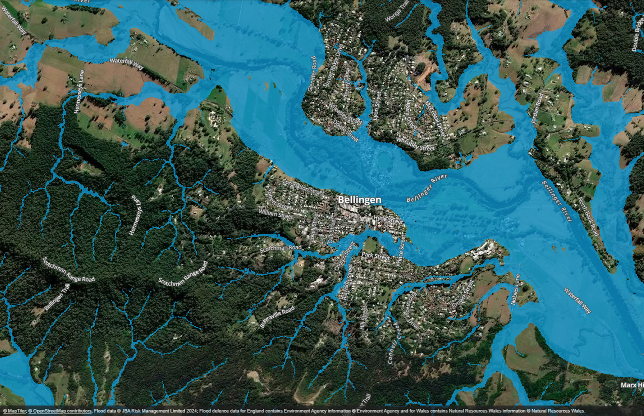
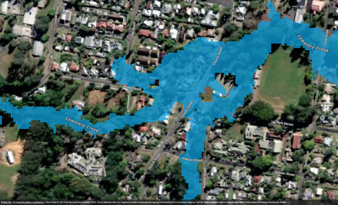
Bellingen Shire Council has taken a proactive step in flood risk management by obtaining access to our highly detailed 5m Flood Map of Australia. This high-resolution data provides valuable insights to support strategic decision-making, helping the Council identify flood-prone areas and prioritise planning efforts.
While not a replacement for detailed modelling assessments, the 5m flood maps offer a cost-effective and efficient way to gain a broad understanding of flood risk across the region. By integrating this data into their planning processes, Bellingen Shire Council can make informed decisions that enhance community resilience and support sustainable development.
This collaboration reflects the Council’s commitment to protecting its communities and environment while embracing innovative tools to guide future planning.

