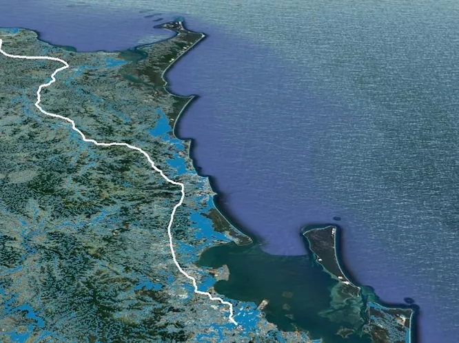
A large scale assessment of hydrology and flood risk along Australia’s eastern coastline to analyse the primary road network. All transport infrastructure was assessed against the Australian Flood Maps, which include 20, 50, 10, 200, 500, 1500-year return periods.