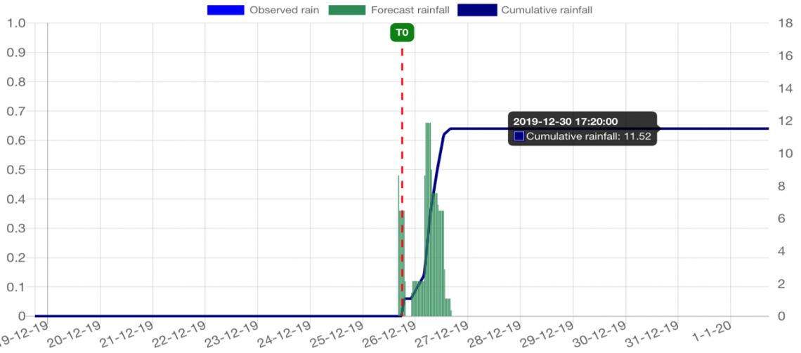
A real-time coastal, wave and flood forecasting system. It uses over 30 weather stations, radar derived rainfall, radar project rainfall forecasts (RAINFIELDS) and soil moisture estimates, runs hydrology models and coastal wave models, and presents information within the JBP weather foresight online portal.
