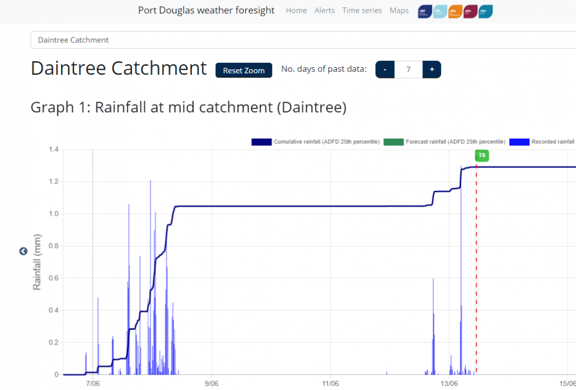
A hydrologic and flood forecasting tool developed to support local government operations, disaster management and transport management in Far North Queensland, Australia. It has been developed to offer 7-day predictions of runoff and flood levels, supporting the early warning of Council, State Emergency Services and other first responders, and their subsequent emergency planning tasks. The system provides three probabilistic forecasts at five critical roadways, with pilot systems setup to project real-time flood extents over the impacted area.
