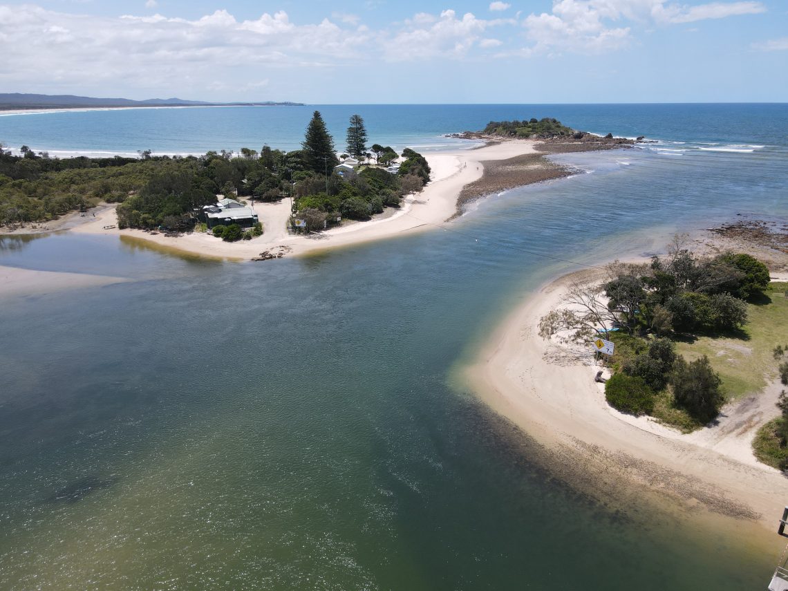
A detailed assessment of estuary hydrodynamics for these two coastal locations in the Clarence Valley region. The estuary modelling was undertaken using a 2D hydrodynamic model to support a risk assessment and to develop new long-term management options – particularly for the local caravan parks, local residents, and Council infrastructure. The study considered tidal propagation and dissipation of tidal planes, extreme sea levels, peak currents and water levels
